The Mountains • Japan
Mount Fuji
3,776.24 mPublished, read on its page 12 October 2026
3,760 mFrom the terrain: 3,760 m • 12,336 ft
1 route to the top and 3 named camps and huts beside them. Bring your own GPX track in the studio and your line prints instead.
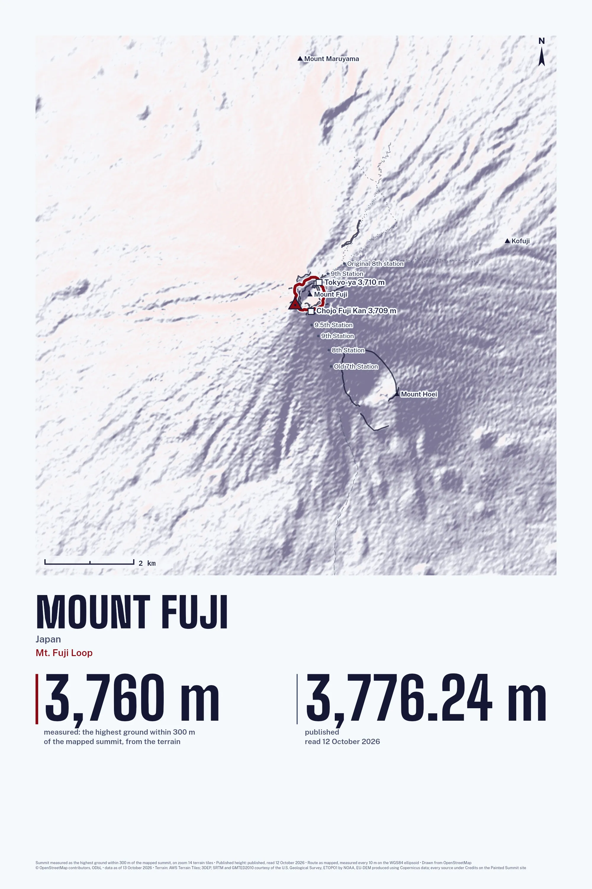
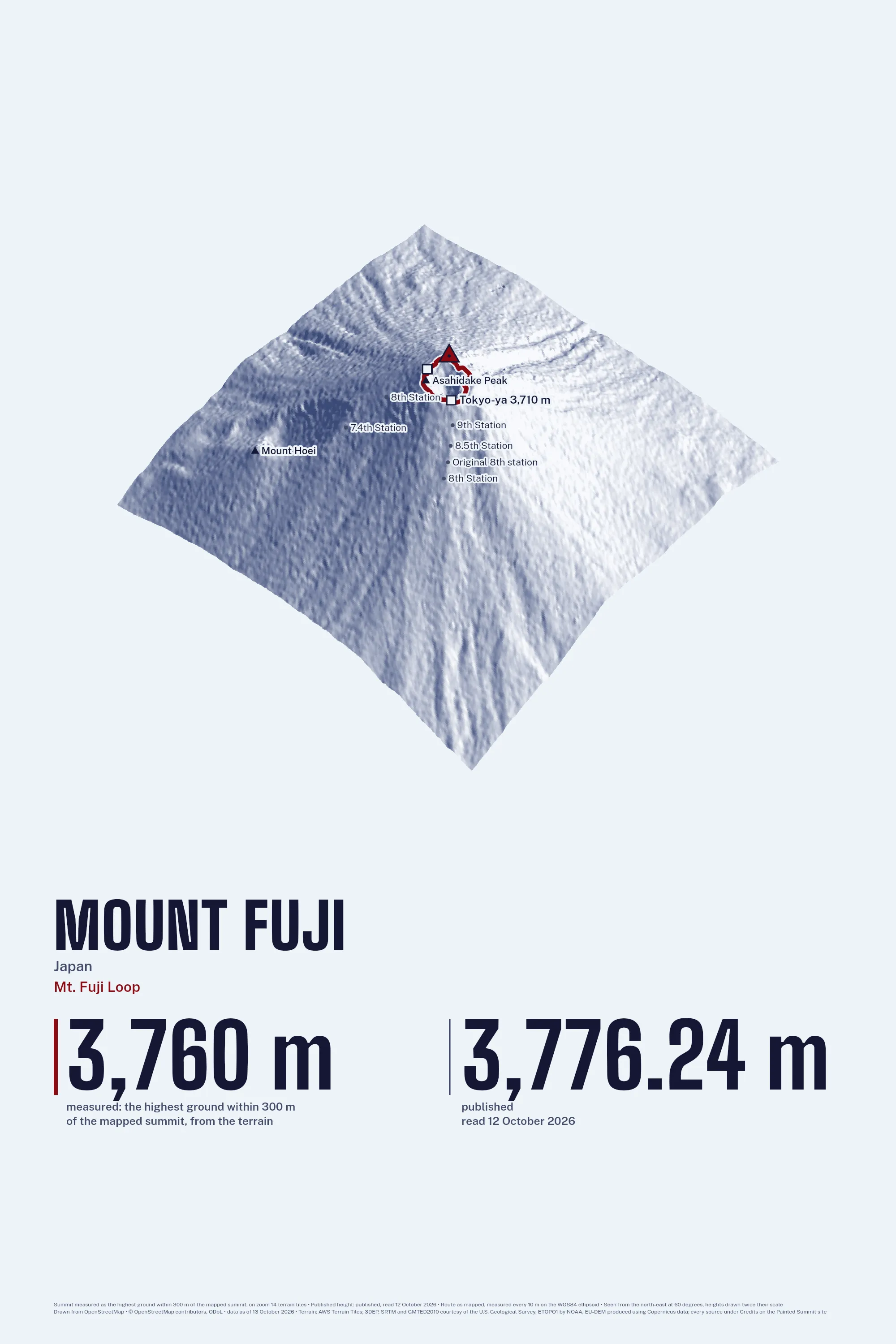
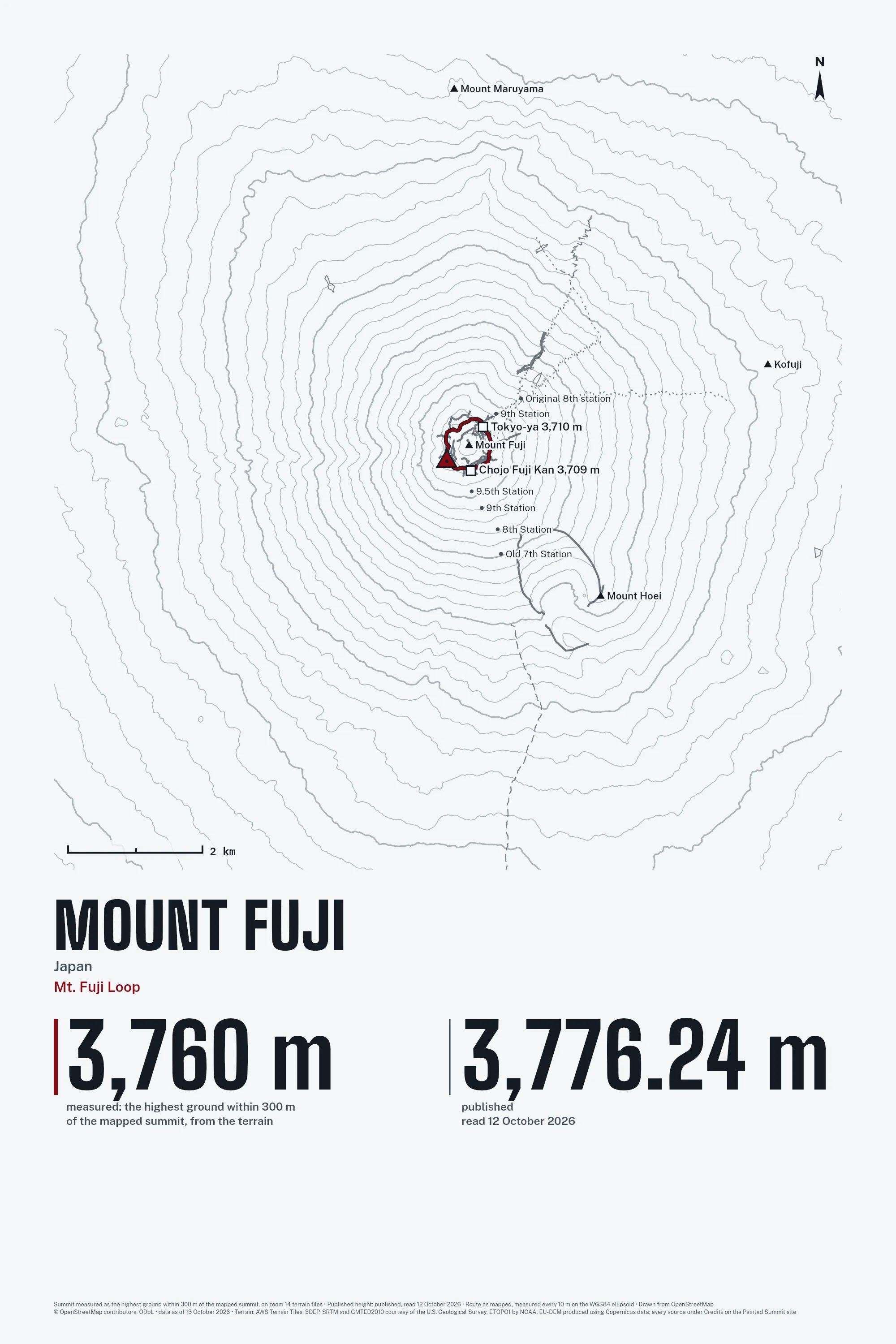
Three of the Eight Styles
The routes
| Route | Length | Climb | Starts at |
|---|---|---|---|
| Mt. Fuji Loop mapped route | 2.3 km | 151 m | 3,691 m |
The camps and huts
| Camp or hut | Height |
|---|---|
| Ginmei Kan | 3,706 m |
| Chojo Fuji Kan | 3,709 m |
| Tokyo-ya | 3,710 m |
Not affiliated with any park, expedition company or federation; no company logos. The drawing is ours, made from the OpenStreetMap survey as of 13 October 2026 (© OpenStreetMap contributors. Open Database License 1.0: https://www.openstreetmap.org/copyright), retrieved 13 October 2026.