The Mountains • Tanzania
Kilimanjaro
5,895 mPublished (British survey, 1952), read on its page 12 October 2026
5,887 mFrom the terrain: 5,887 m • 19,314 ft
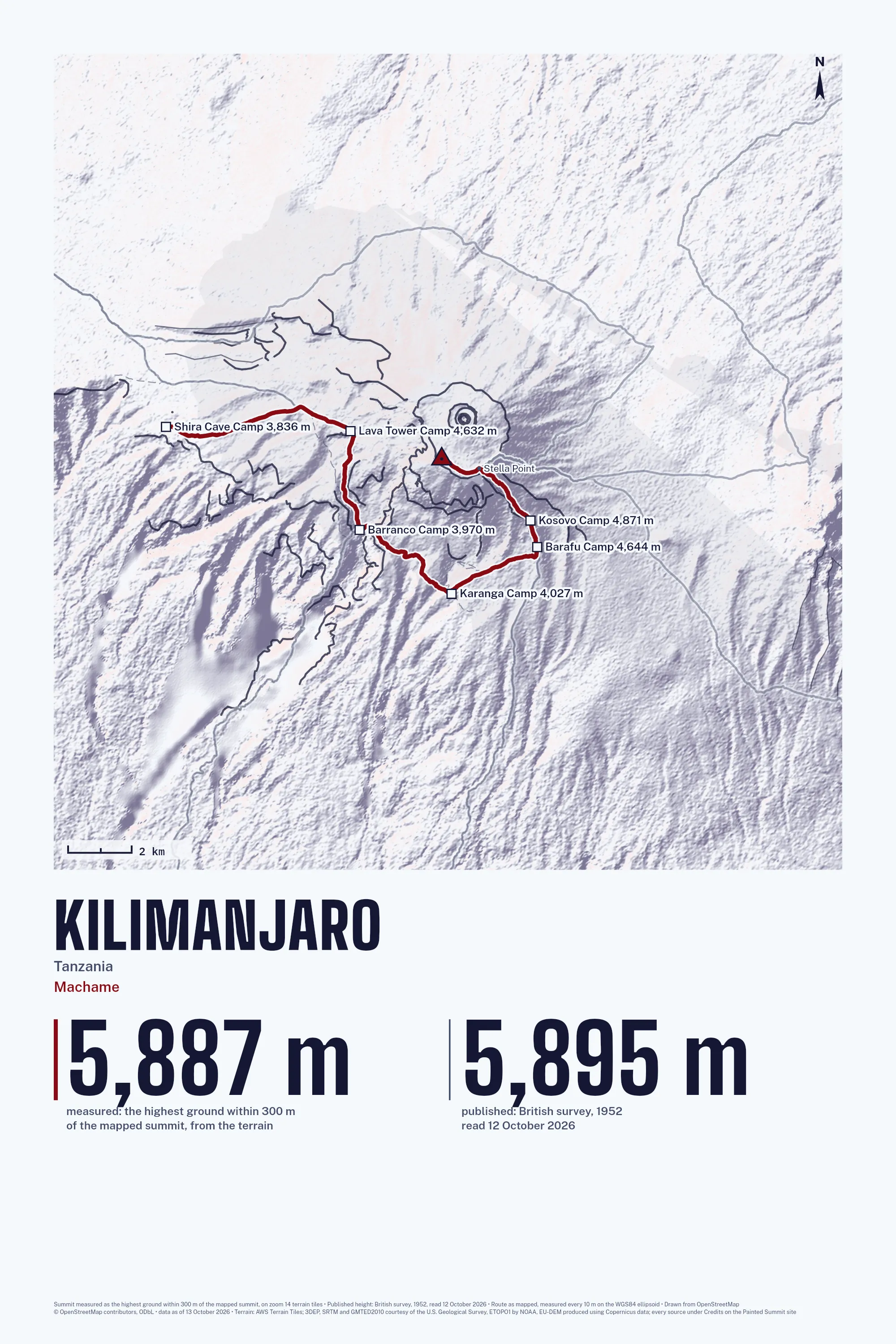
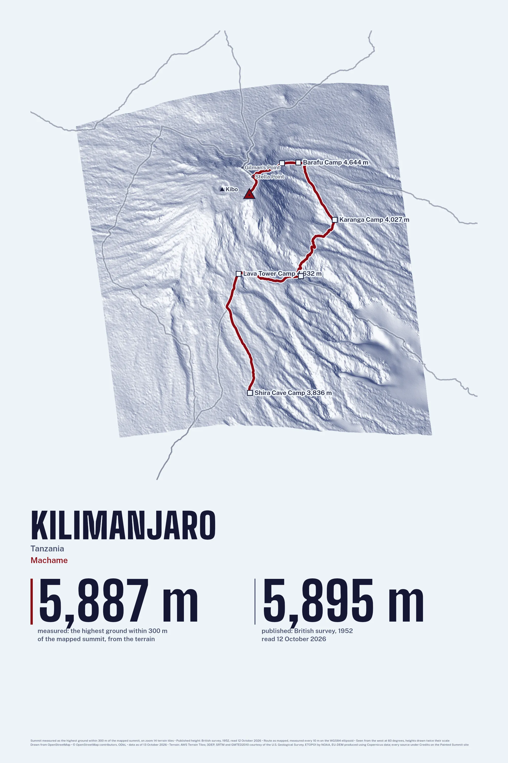
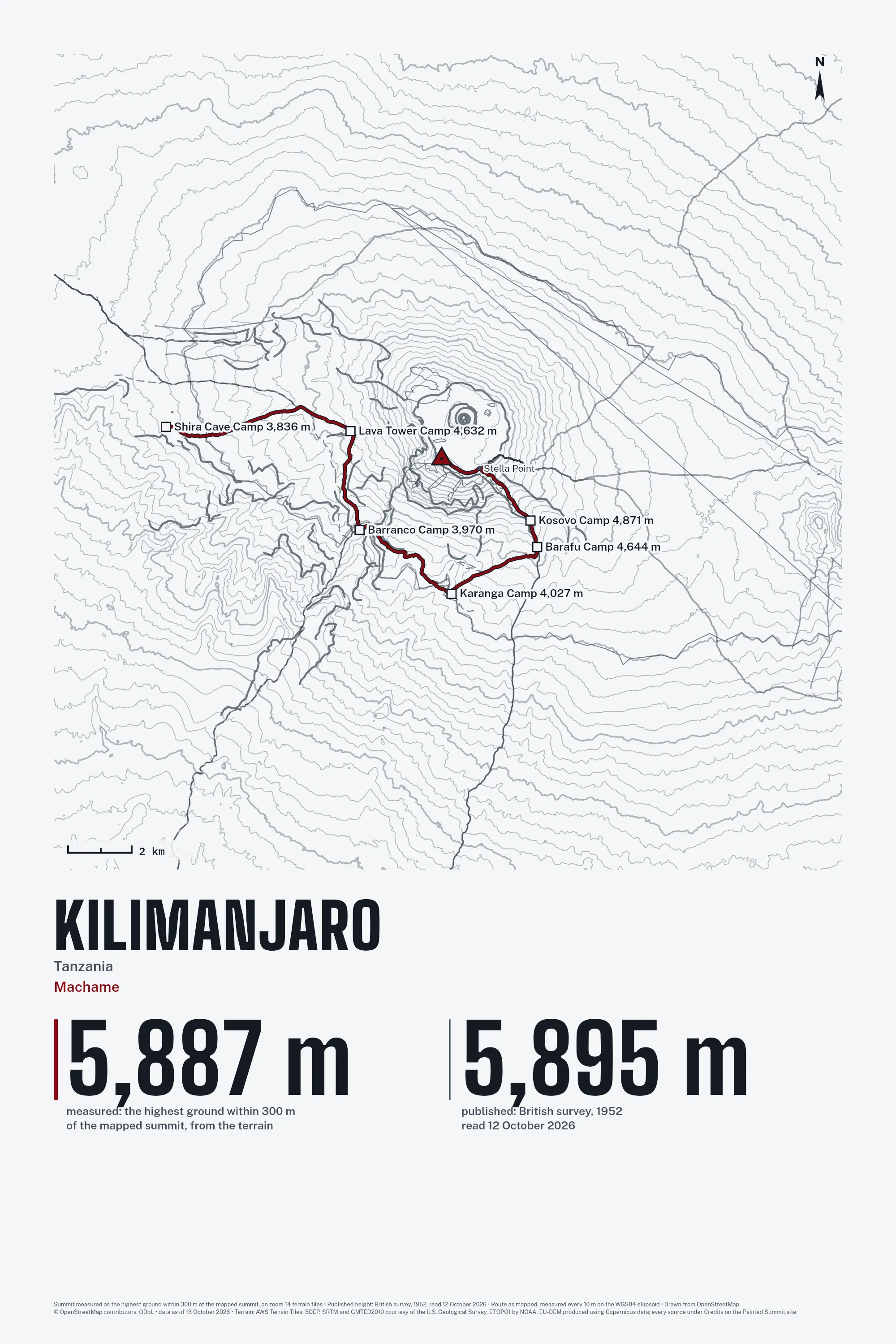
7 routes to the top and 19 named camps and huts beside them. Bring your own GPX track in the studio and your line prints instead.
Three of the Eight Styles
The routes
| Route | Length | Climb | Starts at |
|---|---|---|---|
| Machame mapped route | 21.8 km | 3,136 m | 3,835 m |
| Mweka mapped route | 15.8 km | 3,605 m | 2,286 m |
| Lemosho mapped route | 27.4 km | 3,444 m | 3,563 m |
| Northern Circuit mapped route | 32.1 km | 3,243 m | 3,563 m |
| Marangu mapped route | 17.7 km | 2,469 m | 3,496 m |
| Rongai mapped route | 29.2 km | 3,822 m | 2,391 m |
| Umbwe mapped route | 26.2 km | 4,733 m | 1,669 m |
The camps and huts
| Camp or hut | Height |
|---|---|
| Simba (First) Camp | 2,638 m |
| Umbwe Camp | 2,894 m |
| Mweka Camp | 3,065 m |
| Second Cave Camp | 3,480 m |
| Kikeleva Caves Camp | 3,674 m |
| Horombo Huts | 3,702 m |
| Millenium Camp | 3,798 m |
| Shira Cave Camp | 3,836 m |
| Shire Huts | 3,888 m |
| Third cave camp | 3,945 m |
| Barranco Camp | 3,970 m |
| Pofu | 3,993 m |
| Karanga Camp | 4,027 m |
| Moir Huts | 4,164 m |
| Lava Tower Camp | 4,632 m |
| Barafu Camp | 4,644 m |
Not affiliated with any park, expedition company or federation; no company logos. The drawing is ours, made from the OpenStreetMap survey as of 13 October 2026 (© OpenStreetMap contributors. Open Database License 1.0: https://www.openstreetmap.org/copyright), retrieved 13 October 2026.